- Topic
- Walking and cycling
- Country
- Portugal
- Resource type
- Case study
Walking is beneficial on many fronts. It is healthy, saves money and, by people choosing to use their feet rather than motorised transport, lowers emissions. In Porto over recent years, people have moved from the city centre to the suburbs, a change which has also altered their travel behaviour. Where walking used to be an essential element of city life, now most people drive. To try and redress the balance, Porto developed a model to extract data that would help it increase walking, prevent urban sprawl, and create more liveable places for Porto residents.
Context
Porto, a city of over 237 000 (2012), is one of the oldest European cities containing traces of civilization from the late Bronze Age. The Porto historic centre, which developed organically, consists of narrow streets shaped by the rough terrain between the river and downtown.
In 2015 Porto developed the Smart Pedestrian Network (SPN) model to identify, analyse and improve the current pedestrian network. The SPN is part of a strategic plan to encourage citizens to walk more, prevent urban sprawl, and create more liveable places.
In action
Porto designed the SPN model as an integrated and broader approach to identify a pedestrian network in an urban context. It based the approach on a multi-criteria analysis (MCA) and a geographic information system (GIS) and applied it to the historic centre of Porto in January 2015.
The city used two main components to perform the MCA: (i) space syntax to analyse the connectivity of streets; (ii) and a lot of criteria and sub-criteria that most influence walkability. These main criteria included urban function, built environment, accessibility and urban environment, and the nine sub-criteria included slope, human scale, built visual dimension, land use, population density, public transport, public transport services, green spaces and microclimatic conditions
The SPN model was applied to the historic centre and surrounding neighbourhoods. Minho University is negotiating with the municipality to apply this model in larger area of the city.
Results
Modelling is a powerful tool to study the complex urban environment. This research combined the results of GIS and space syntax tools for making a model that the city can develop into an SPN, considering the optimal paths that are compatible with movement of pedestrians. The results show the walkability of Porto and the configuration and connectivity of the pedestrian network.
Mona Jabbari, a principal researcher from the University of Minho who co-developed the model, said, ‘The main problem identified in the current structure of Porto city centre is the lack of connectivity between pedestrian paths and the absence of a pedestrian network. This is a critical issue, which has a direct impact on the level of pedestrian activity and satisfaction. This model we developed allocates a priority to streets; the higher the priority the more important this street is for the strength of the pedestrian network.’
This prioritisation, Jabbari says, can guide urban planning and support decisions in Porto. It is also very useful for policymakers and decision-makers when it comes to making investment decisions for the future pedestrian network. All these improvements are important to strengthen the network and to enlarge the share of walking. This in turn contributes to sustainable urban mobility.
The SPN model won a CITIVAS award in 2015 for the most innovative and sustainable initiative.
Challenges, opportunities and transferability
The model can be a valuable tool for municipalities throughout Europe. Detecting and analysing a pedestrian network enables data to guide decisions on urban sustainability. It shows what elements pedestrians most value and provides planning guidance to improve walkability and the connectivity of pedestrian networks.
European cities can easily replicate Porto’s model and the project has the potential to improve policies regarding the promotion of walkable and smart sustainable cities throughout Europe.
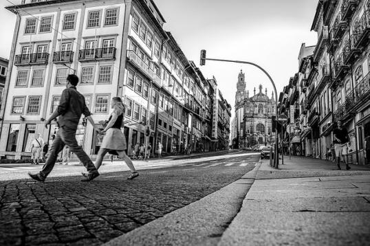
Image copyright: Walk on by (image on Flickr) by "Raul Lieberwirth", licensed under CC BY-NC-ND 2.0.
This case study has been prepared for the European Commission however it reflects the views only of the authors, and the European Commission is not liable for any consequence stemming from the reuse of this publication.

